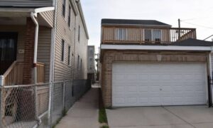
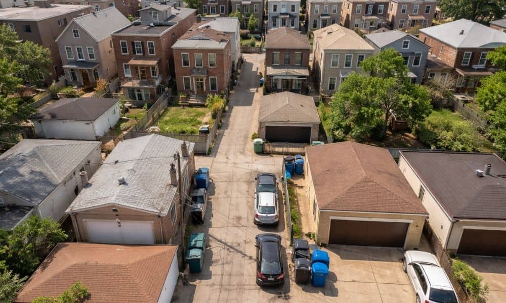
A buyer picks up a small property in Chicago. The lot looks fine. There’s a rear alley. Cars pass through, trash gets picked up, and nothing feels off. So the project moves forward. Plans get drawn. Parking gets laid out. The timeline starts to take shape. Then during review, something doesn’t line up. The alley can’t be used the way everyone expected. This kind of problem shows up more often than people think. It usually comes down to one simple mistake. People trust what they see instead of checking what’s legally allowed. That’s when you start to see what an alta survey shows, and why it matters for access.
Why alley access is different in Chicago
Chicago is built around alleys. They sit behind homes, small buildings, and large commercial sites. Many properties depend on them every day.
Because of that, it feels natural to assume access is always there.
But Chicago has a long history. Lots have changed over time. Properties have been split, combined, or adjusted. Some access points were never recorded the right way.
So even if an alley is open and in use, the legal side may tell a different story.
That gap is where trouble starts.
What an ALTA survey actually shows
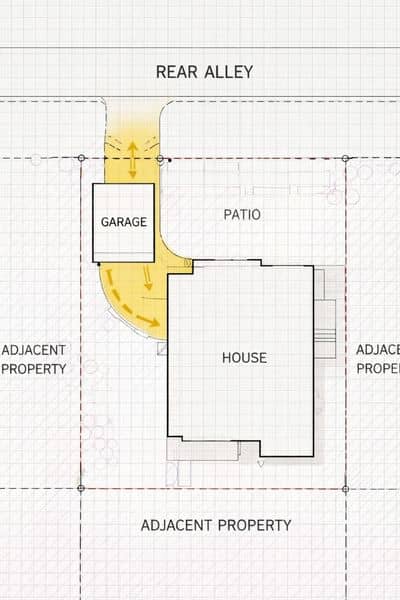
An alta survey doesn’t just outline the edges of a property. It also shows how that space connects to everything around it.
That includes access.
You start to see this more clearly when you’re getting an alta survey on older sites. It can point out where vehicles actually enter and exit, whether access is shared, and when something on the ground doesn’t match what’s on record.
This matters during planning. A layout might look fine at first, but the survey can show that access is tighter or more limited than expected.
And once that comes up, the whole plan can change.
Why alley problems often stay hidden at first
Most buyers walk a site and make quick judgments. If a car fits through the alley, they assume it works. If neighbors use it, they assume it is fine.
That kind of thinking feels normal.
But it skips a key detail.
Use does not always mean permission.
Some access has been informal for years. No one questioned it because it worked. Then a new owner comes in with a new plan. That is when limits show up.
And by then, changes are harder to make.
How access issues affect real projects
When access is not clear, plans begin to shift.
Parking layouts may need to move. Entry points may not work the way they were designed. Some designs no longer fit the space at all.
Sometimes, the problem is not obvious until later. A truck cannot turn. A shared path becomes too tight. A neighbor pushes back.
What looked simple becomes more complex.
Even small changes can slow things down. Time gets lost adjusting the plan. Costs start to creep up.
All of this can come from something that looked fine on day one.
Where these problems usually come from
Many of these issues come from older property setups.
Some alleys are shared by several properties, but no one defined the limits clearly. Others have small encroachments that built up over time.
In some cases, access was never recorded, even though people have used it for years.
There are also situations where the access works for light use but not for a larger project. A home setup may be fine. A new development with more traffic may not be.
So the problem is not always obvious. It depends on how the property will be used.
What to look for when reviewing an ALTA survey
When you look at an alta survey, focus on how the property connects to the alley.
Check where access points are located. See how much space is actually available. Compare that to your plan.
If something feels tight, it probably is.
Also look at how nearby properties interact with that same space. Shared areas can limit what you can do.
The goal is simple. Make sure the access you need is clearly supported before moving forward.
When this matters the most
Some properties carry more risk than others.
Tight city lots are one example. Older buildings are another. Sites that depend on rear parking or service access also fall into this group.
In these cases, access is not just a small detail. It shapes the entire layout.
That is why it needs attention early.
Why catching this early makes a difference
Once plans are in motion, changes become harder.
Design work may need to be adjusted. Timelines may shift. Costs may increase.
But when access is clear from the start, decisions become easier. The layout fits the space. The project moves forward with fewer surprises.
In a city like Chicago, that kind of clarity matters.
An alta survey helps show what is actually possible before time and money are spent on the wrong plan.
And that alone can save a project from going in the wrong direction.