
Why LiDAR Mapping Costs Are Rising
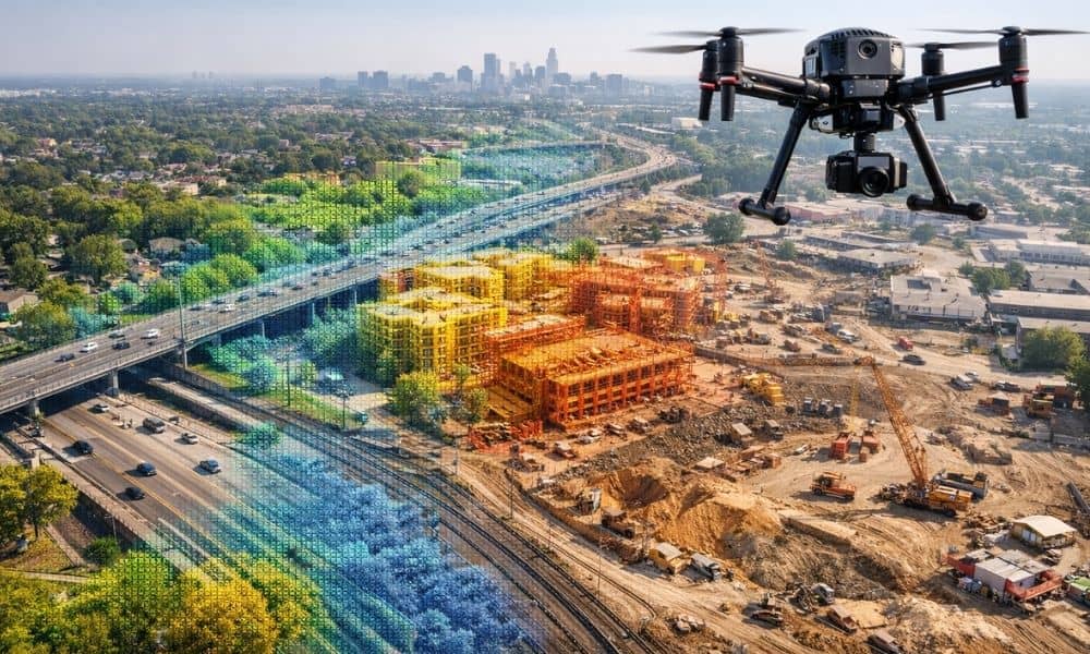
If you’ve asked for LiDAR pricing recently, you may have noticed higher quotes than before. Many property owners, developers, engineers, and city teams across the state are seeing this change. So, what’s behind it? Across many projects, lidar mapping Illinois services now cost more than they did a few years ago. While inflation plays a […]
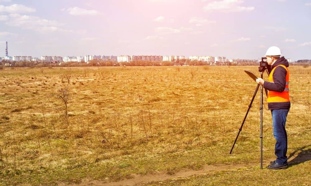
Why Topographic Survey Requirements Are Tightening

Construction projects in Chicago are facing closer review than they did even a few years ago. Plans that once moved through approvals now come back with comments asking for clearer site data. In many cases, the issue is not the design. It is the topographic survey behind it. This shift matters because survey expectations affect […]
Ground Is Sinking? Land Surveying Proves the Facts
Lately, you may have seen headlines saying Chicago is sinking. The stories move fast across social media and local news. They talk about climate pressure, flooding, and ground movement. Naturally, people start to wonder what this means for their homes, businesses, and projects. However, headlines tell only part of the story. They describe trends across […]