
Topo Surveys Are Rising as Urban Ground Slowly Sinks

Chicago is not falling apart. However, recent reporting has confirmed something that surprises many property owners: parts of the city are slowly sinking over time. While the movement measures in millimeters, the impact can be serious. Because of this shift, topo surveys are now being requested more often for urban projects across Chicago. If you […]
Aerial Survey for Transit Expansion: What Ground Crews Miss
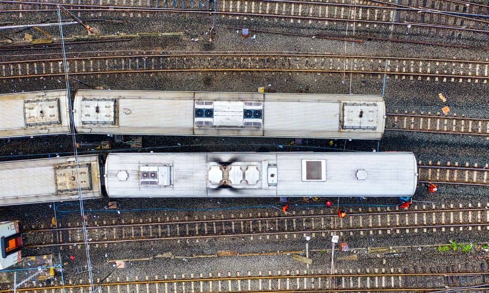
Chicago just got a major transit shake-up. Illinois recently passed a law that boosts long-term funding and reshapes how CTA, Metra, and Pace work together under a new regional structure. That news sounds political at first. However, it quickly turns into something very local: planning, design, and construction will ramp up across corridors, stations, bridges, […]
Why Every Modern Project Needs a Construction Survey

Chicago is changing fast, and builders are trying to keep up. New mixed-use buildings—projects that combine homes, stores, offices, and parking—are rising in many neighborhoods. With this growth, a construction survey is now more important than ever. Builders, engineers, and lenders rely on accurate survey work to keep projects safe, legal, and on schedule. As […]