
Ground Is Sinking? Land Surveying Proves the Facts
Lately, you may have seen headlines saying Chicago is sinking. The stories move fast across social media and local news. They talk about climate pressure, flooding, and ground movement. Naturally, people start to wonder what this means for their homes, businesses, and projects. However, headlines tell only part of the story. They describe trends across […]
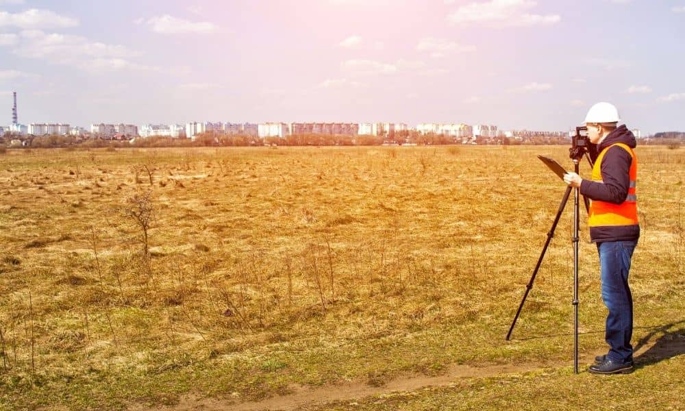
Topo Surveys Are Rising as Urban Ground Slowly Sinks

Chicago is not falling apart. However, recent reporting has confirmed something that surprises many property owners: parts of the city are slowly sinking over time. While the movement measures in millimeters, the impact can be serious. Because of this shift, topo surveys are now being requested more often for urban projects across Chicago. If you […]
Aerial Survey for Transit Expansion: What Ground Crews Miss

Chicago just got a major transit shake-up. Illinois recently passed a law that boosts long-term funding and reshapes how CTA, Metra, and Pace work together under a new regional structure. That news sounds political at first. However, it quickly turns into something very local: planning, design, and construction will ramp up across corridors, stations, bridges, […]