
Why Every Modern Project Needs a Construction Survey

Chicago is changing fast, and builders are trying to keep up. New mixed-use buildings—projects that combine homes, stores, offices, and parking—are rising in many neighborhoods. With this growth, a construction survey is now more important than ever. Builders, engineers, and lenders rely on accurate survey work to keep projects safe, legal, and on schedule. As […]
The Hidden Land Surveying Risks Investors Miss

Most people rarely think about land surveying, and that includes real estate investors in Chicago. When you look at the news, you’ll see stories about new towers, zoning fights, tax hikes, or major commercial deals. But you won’t see headlines about boundary mistakes, lost property corners, or survey delays that slowed a closing. That silence […]
How RoboBus LiDAR Mapping Can Improve Transit Safety
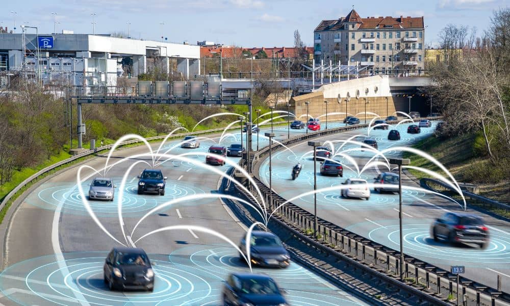
Chicago moves fast. Buses pull in and out of tight stops, thousands of people spill onto sidewalks after each CTA train, and traffic patterns shift from one block to the next. Because of this constant motion, the city needs tools that can keep up. That’s where lidar mapping steps in. And thanks to a new […]