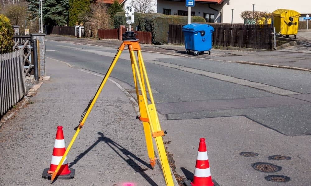
When you order a property survey, you might think the surveyor simply shows up, sets up equipment, and starts taking measurements. In many cases, that’s true. But if your property touches a sidewalk, alley, or street, the rules change. Surveyors can’t step into those areas—called the public right-of-way—without special permissions and safety clearances.
For property owners, developers, and contractors, understanding how to handle these permits and utility checks is the key to avoiding costly delays. Let’s walk through what this means and how you can keep your project on track.
Understanding Why Right-of-Way Rules Matter
Survey crews often need to take measurements just beyond your property line—maybe along the sidewalk or curb—to get the data they need. Those extra few feet matter, but they also fall under city control. Chicago treats sidewalks, alleys, and parkways as public spaces, which means extra steps before anyone can work there.
Skipping the permit or failing to mark utilities can stop your project fast. Worse, hitting an underground line could lead to big repair costs or safety risks. By taking the right steps before the survey starts, you protect your team, your timeline, and your budget.
Step 1: Check if Your Survey Touches the Public Way
Before scheduling your survey, take a quick look at your property boundaries. If any part of the work area includes sidewalks, parkways, or alleys, it counts as a public right-of-way. Even a simple topographic or boundary survey that includes the curb line can require additional city approval.
Many property owners are surprised to learn that the sidewalk in front of their home or business isn’t technically part of their property. If your surveyor needs to step into that space, a permit is almost always required.
Step 2: Apply for a Public Way Permit
When the survey involves city-owned space, you or your surveyor must apply for what’s called an “Occupy the Public Way” permit. This process ensures your work is coordinated with other ongoing construction and follows traffic safety rules.
To apply, you’ll typically provide:
- Proof of insurance naming the City of Chicago as an additional insured.
- A simple traffic control or barricade plan showing how your crew will stay safe.
- The schedule and contact information for the project.
It’s best to submit the application several days before you plan to start. Permits aren’t approved instantly, and waiting until the last minute can hold up your work.
Step 3: Don’t Confuse Building Permits With Survey Permits
Many homeowners hear about Chicago’s “Express Permit” program and assume it applies to surveys. It doesn’t. Express permits are for building repairs, interior renovations, or small additions. If your survey crew will be standing on or blocking a sidewalk, that’s a completely different department.
Think of it this way: if your surveyor needs space in the street or alley, you’re dealing with transportation, not building. Always make sure you’re applying for the right kind of permit so your project doesn’t get flagged later.
Step 4: Call Before You Dig—or Survey
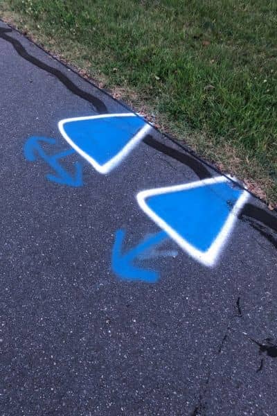
Even though a property survey doesn’t involve excavation, surveyors still drive stakes, rods, and flags into the ground. That’s why Chicago requires you to contact 811 before any on-site work begins.
Inside the city, the system is called 811 Chicago, while areas outside the city use JULIE (Illinois One-Call). If your project sits near a city border, like around Oak Park or Evanston, it’s smart to notify both.
Once you file your request, utility companies mark their underground lines with colored paint or flags. These marks usually stay valid for about 25 days, so plan your survey within that window. Never assume the ground is clear just because you’re not digging deep—some lines are close to the surface.
Step 5: Keep an Eye on the Utility Marks
Chicago weather can wash away paint quickly. If you notice faded or missing markings before the survey, ask for a re-mark. Utility companies are responsible for maintaining those markings, but they won’t do it automatically—you have to request it.
Surveyors often take photos of markings before starting, just to have a record. This helps if there’s ever a question about who disturbed a line or whether the markings were visible at the time.
Step 6: Check for Conflicts Before Sending Crews Out
Before your survey date, check whether other work is happening near your location. The city keeps a public map showing active permits and lane closures, which can help you avoid scheduling problems. If another contractor already has a closure on your street, your survey crew might not be able to access their area safely.
A quick check like this prevents wasted trips and keeps your project moving. It’s a small step that saves time, money, and frustration.
Step 7: Clarify Who Handles Each Task
In most projects, the licensed land surveyor manages the technical side—like preparing traffic plans and coordinating fieldwork. However, you, as the property owner or contractor, are usually responsible for applying for the permit and paying the related fees.
Before hiring a surveyor, ask clear questions:
- Do you handle the permit application?
- Are 811 requests included in your service?
- What happens if bad weather requires a re-mark?
Having this conversation early avoids confusion later.
Step 8: Save Every Approval and Ticket
When your survey is complete, keep all the paperwork together—permit approvals, 811 confirmation emails, and even photos of markings. These documents can be useful for lenders, general contractors, and insurance companies.
If you plan to build, they’ll also help confirm that your work followed safety and city compliance steps. A well-documented process builds trust with everyone involved.
Why All This Preparation Is Worth It
It might sound like a lot of extra work, but every one of these steps protects you. Chicago’s underground system is dense—gas, water, fiber, and power lines often sit just below the surface. Taking time to follow the city’s process helps prevent damage, keeps your project legal, and shows professionalism.
A property survey done right doesn’t just map boundaries. It proves your team respects safety, the public space, and the law. That goes a long way toward keeping clients, inspectors, and neighbors on your side.
Final Thoughts
Securing a property survey that extends into the public way is about preparation and communication. A few extra forms and phone calls can save you from weeks of delay or thousands in repair costs.
Before your next survey, check your boundaries, apply for the right permit, and confirm your 811 locations. Once those steps are covered, your survey can move forward confidently and safely.
If you’re unsure where to start, it’s best to talk with a licensed surveyor for boundary and right-of-way projects who knows the process inside and out. They can handle the permitting, coordinate with 811, and guide you from fieldwork to final deliverables so your survey stays accurate and fully compliant.
With the right planning, your next property survey won’t just measure your land. It’ll set the foundation for a smooth, successful project.