How a Drone Survey Makes Tight Job Sites Safer

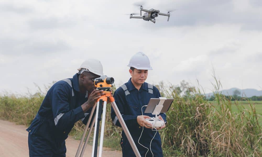
An aerial survey using drones gives project teams a faster way to understand site conditions before work begins. In a dense city like Chicago, where space is limited and activity is constant, this approach helps reduce unnecessary movement across active areas. Many professionals still refer to this method as a drone survey, but its value […]
Mastering Drone Surveying for Urban Infill Projects
Chicago is changing fast. Empty lots, old buildings, and small open spaces are turning into condos, shops, and offices. For licensed land surveyors, that means more infill projects and tighter job sites to measure. That’s where drone surveying makes a big difference. Drone surveying gives surveyors a smarter, faster way to collect data on crowded […]