
Ground Is Sinking? Land Surveying Proves the Facts
Lately, you may have seen headlines saying Chicago is sinking. The stories move fast across social media and local news. They talk about climate pressure, flooding, and ground movement. Naturally, people start to wonder what this means for their homes, businesses, and projects. However, headlines tell only part of the story. They describe trends across […]
How Drone Surveys Help Redevelop Brownfield Sites

Many old industrial sites in Chicago sit empty. These places are called brownfields. They used to be factories, gas stations, or other businesses. Brownfields can be turned into homes, parks, or shops but only if the land is safe. Drone surveys help developers get fast, safe, and detailed information about these sites. Drones can fly […]
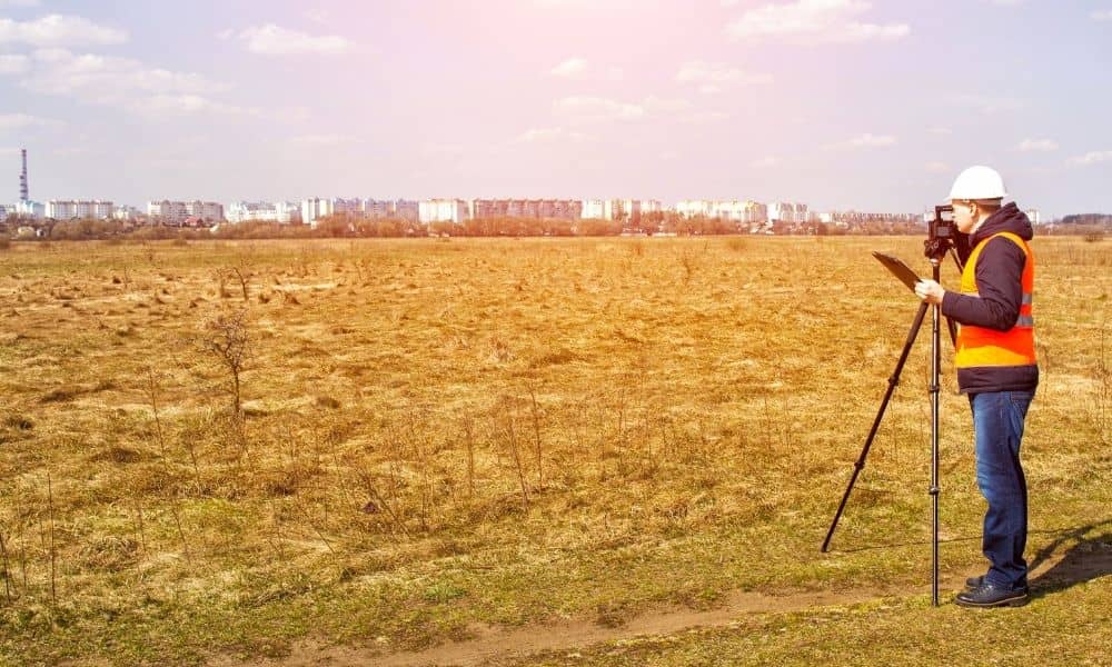
Why You Should Consider Getting a Topographic Survey

Planning to build a new home, start a renovation, or develop a property in the Chicago area? Before you break ground, there’s one important step you shouldn’t skip — getting a topographic survey. While it might not be the first thing that comes to mind during the planning phase, a topographic survey in Chicago, Illinois […]