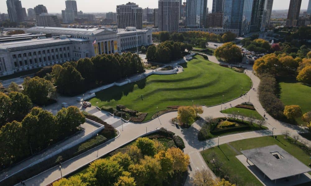
Chicago is a city built on layers—literally. From its elevated trains to underground tunnels and historic buildings to modern skyscrapers, there’s a lot going on above and below the surface. Managing all of this takes smart planning and even smarter tools. One of the most powerful tools shaping how we plan and improve this city is LiDAR mapping.
Used to create precise 3D models of streets, structures, and infrastructure, LiDAR technology is becoming a key asset in Chicago’s urban planning and development efforts. It’s not just for engineers—it’s helping communities, city officials, and businesses make faster, safer, and more informed decisions.
Let’s dive into the top 9 ways LiDAR mapping is being used in real-world projects around the city.
1. Roadway Design and Traffic Flow Analysis
Whether you’re driving down Lake Shore Drive or navigating a neighborhood street in Pilsen, roads in Chicago are always being upgraded. LiDAR makes it easier to map lanes, medians, crosswalks, and other key features quickly and with great accuracy.
City planners use this data to design better traffic systems, adjust lane widths, and even plan smart traffic signals. The result? Smoother commutes, fewer accidents, and better flow.
2. Utility Mapping and Subsurface Infrastructure
Digging in the wrong spot can be dangerous and expensive. With LiDAR, surveyors can combine above-ground scans with other data to understand where underground utilities—like water pipes and gas lines—are located.
This is especially important in older parts of Chicago, where original utility records may be incomplete. Using LiDAR reduces the risk of damaging critical infrastructure and helps utility companies plan repairs or upgrades with confidence.
3. Flood Prevention and Stormwater Management
If you’ve ever dealt with a flooded street or basement after a big storm, you know how important drainage systems are. Chicago’s low-lying areas and aging sewers can struggle with heavy rain.
LiDAR helps engineers analyze the city’s topography, showing where water flows and where it pools. This data is key for designing retention basins, green roofs, and other flood control measures that help keep our neighborhoods dry.
4. Public Transit and Rail Planning
The “L” is a lifeline for many Chicagoans. As the system grows and evolves, LiDAR mapping helps planners model stations, track layouts, and elevation changes more accurately.
Whether it’s extending a train line or improving accessibility at stations, LiDAR gives project teams the information they need to keep public transit reliable and safe.
5. Building Information Modeling (BIM) and Site Development
Before a new building goes up, crews need to know what’s already there. LiDAR scans give developers a full view of the existing conditions—buildings, streets, sidewalks, and slopes.
This is essential for Building Information Modeling (BIM), which combines all design and infrastructure data into one shared model. It helps everyone involved stay on the same page and avoid costly mistakes.
6. Environmental Monitoring and Urban Green Spaces
LiDAR isn’t just for concrete and steel—it’s also used to measure and protect the natural parts of our city. From Lincoln Park to the Chicago Riverwalk, LiDAR can help track tree coverage, erosion, and elevation shifts over time.
City planners and conservationists use this data to maintain healthy green spaces, monitor air quality zones, and plan sustainable development.
7. Historical Preservation and Documentation
Chicago’s rich architectural history is one of its greatest assets. LiDAR mapping plays a key role in preserving this legacy by capturing exact 3D models of buildings, bridges, and landmarks.
These models can be used to restore facades, plan renovations, or even recreate structures digitally in the event of damage. It’s a high-tech way to honor the past while planning for the future.
8. Airport and Aviation Safety
At O’Hare and Midway airports, safety and efficiency are top priorities. LiDAR helps survey runways, taxiways, and terminals with precision—especially important in a high-traffic airspace like Chicago’s.
It’s also used to identify obstacles that could interfere with takeoff or landing, such as new buildings or construction cranes. This ensures safety while keeping the airport running smoothly.
9. Emergency Response Planning and Risk Assessment
First responders rely on accurate maps to do their jobs quickly. LiDAR data helps create detailed, up-to-date emergency plans that cover everything from street layouts to building entrances.
In disaster planning scenarios, it’s used to model floods, fires, or other hazards—giving police, fire, and EMS teams the tools to respond faster and more effectively.
The Future of LiDAR Mapping in Chicago
The use of LiDAR mapping in Chicago IL is only going to grow. As smart city initiatives roll out and infrastructure demands increase, LiDAR will be used alongside AI, sensors, and IoT devices to create even more responsive and adaptive urban systems.
Imagine traffic lights that adjust based on real-time road data, or construction teams using live LiDAR feeds to avoid underground hazards. The technology is here—and Chicago is ready to use it.
FAQs
1. What is LiDAR used for in Chicago?
LiDAR is used for everything from road design and utility mapping to flood control and historical preservation.
2. Is LiDAR only used above ground?
No, while LiDAR captures surface data, it’s often paired with other tools to understand underground utilities.
3. How accurate is LiDAR mapping?
Very accurate—typically within 2-5 centimeters. This makes it ideal for construction and infrastructure projects.
4. Does the City of Chicago use LiDAR?
Yes, various city departments and engineering firms use LiDAR to support public works, transit, and environmental planning.
5. Is LiDAR mapping expensive?
It may have higher upfront costs than traditional surveying, but it saves time, reduces risks, and often lowers total project costs.
6. Can LiDAR data be reused?
Absolutely. Once collected, LiDAR data can be stored and reused for future projects, updates, or emergency planning.