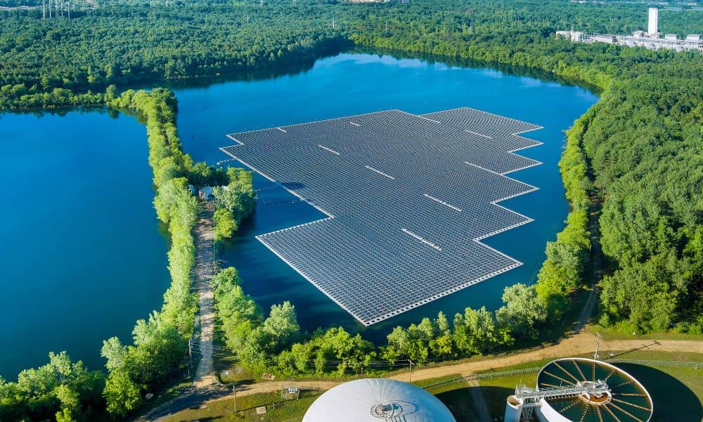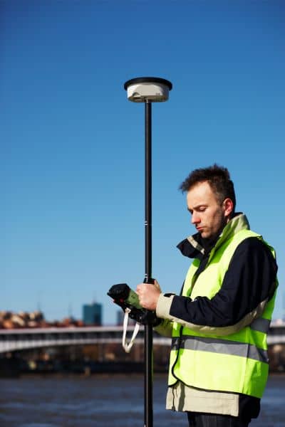
When you hear the words “ALTA Land Title Survey,” you probably think of paperwork, real estate, or property closings. But in Chicago, this technical tool helped bring something unexpected to life — a floating eco-park on the Chicago River.
Yes, you read that right. A floating park.
The Wild Mile is one of the country’s first floating nature parks, and it’s not just beautiful — it’s built on some of the most detailed land data available. To make it all possible, engineers and planners needed help from something that sounds boring but turned out to be essential: an ALTA Land Title Survey.
Wait, What Is a Floating Eco-Park?
Let’s back up for a second. The Wild Mile Chicago is a new kind of park — it’s not on land, but on floating platforms placed along the North Branch of the Chicago River. The park includes walking paths, native plants, and even wildlife habitats. It’s a place where people can walk, learn, and relax while being surrounded by nature.
But this isn’t a simple backyard project. It took years of planning, government approvals, and engineering to make it happen. And believe it or not, one of the first things they needed was a land survey.
Not just any survey — an ALTA Land Title Survey.
Why an ALTA Land Title Survey?
An ALTA Land Title Survey is not your average map. It’s a detailed report that shows exactly where a property begins and ends, along with easements, access points, utility lines, and even potential issues like encroachments.
In a city like Chicago, where property lines get messy and riverfront land has changed over time, this kind of survey is a must. Especially for a project like the Wild Mile that uses both public and private land — and water.
The people behind the park needed to know:
- Where the legal boundaries were
- What parts were owned by the city or private developers
- Whether anything underground (like old sewer lines or foundations) would interfere
- If they could build floating platforms in specific zones
Without this information, they couldn’t even start designing.
That’s where the ALTA Land Title Survey came in.
Surveying the Water? Yep.

You might wonder, “How do you survey something that floats?” Great question.
The Wild Mile doesn’t just float randomly down the river. Its platforms are anchored in specific spots, often near old industrial sites or along rebuilt riverwalks. This means planners had to understand what was below the surface too.
Surveyors worked with historical land records, modern drone mapping, and elevation data to get a clear picture of the river’s edge. The ALTA survey helped combine this information with legal documents to make sure everything was in the right place — and legal to use.
They even used drones and 3D scanning tools to map the area from above. This helped match old property lines with new features like walkways and piers.
What Makes an ALTA Survey Different?
A regular property survey might show your yard, fence, or house layout. An ALTA Land Title Survey, on the other hand, goes deep. It’s the kind of survey that banks, lawyers, and city officials rely on when millions of dollars are involved.
It includes:
- Legal boundaries
- All visible improvements (like buildings or sidewalks)
- Rights-of-way and easements
- Access routes
- Utility lines
- Flood zone data
This is the level of detail needed when you’re turning an old industrial riverfront into a public park — especially one that floats.
Why It Mattered
Chicago’s Wild Mile isn’t just a park. It’s part of a bigger plan to bring nature back into the city. But before the first floating platform could be placed, teams had to know everything about the land and water underneath.
The ALTA Land Title Survey helped them:
- Avoid building on restricted or private property
- Understand where old utility lines might interfere
- Match plans to zoning rules
- Show legal proof to city officials and funders
- Anchor floating sections in legal, safe spots
It wasn’t just helpful — it was critical.
A New Use for an Old Tool
Most people think of land surveys as paperwork for home sales. But this project shows how powerful they can be in modern, creative projects.
Without the ALTA Land Title Survey, the Wild Mile could have faced:
- Legal delays
- Construction problems
- Funding issues
- Boundary disputes
Instead, surveyors helped set a clear foundation — even though the park floats on water.
What This Means for Future Projects
Chicago is changing. From riverwalks to green roofs, the city is investing in sustainable spaces. And as these projects become more complex, so does the need for reliable surveying.
An ALTA Land Title Survey isn’t just for banks and title companies anymore. It’s a key tool for city planners, environmental engineers, and architects working on tomorrow’s Chicago.
And if you’re part of a development team — even for something as unique as a floating park — the survey might just be the smartest first step you take.
Final Thoughts
The Wild Mile is a perfect mix of nature, innovation, and smart planning. But behind the plants and pathways is something more technical — the careful work of surveyors who mapped out every inch of riverfront land.
The next time you walk through a park or see a new development by the water, remember this: it might not exist without an ALTA Land Title Survey.
After all, in a city built on steel and concrete, progress always starts with knowing exactly where you stand. That’s why having access to professional surveying solutions is so important — it’s the foundation that makes projects like this possible.