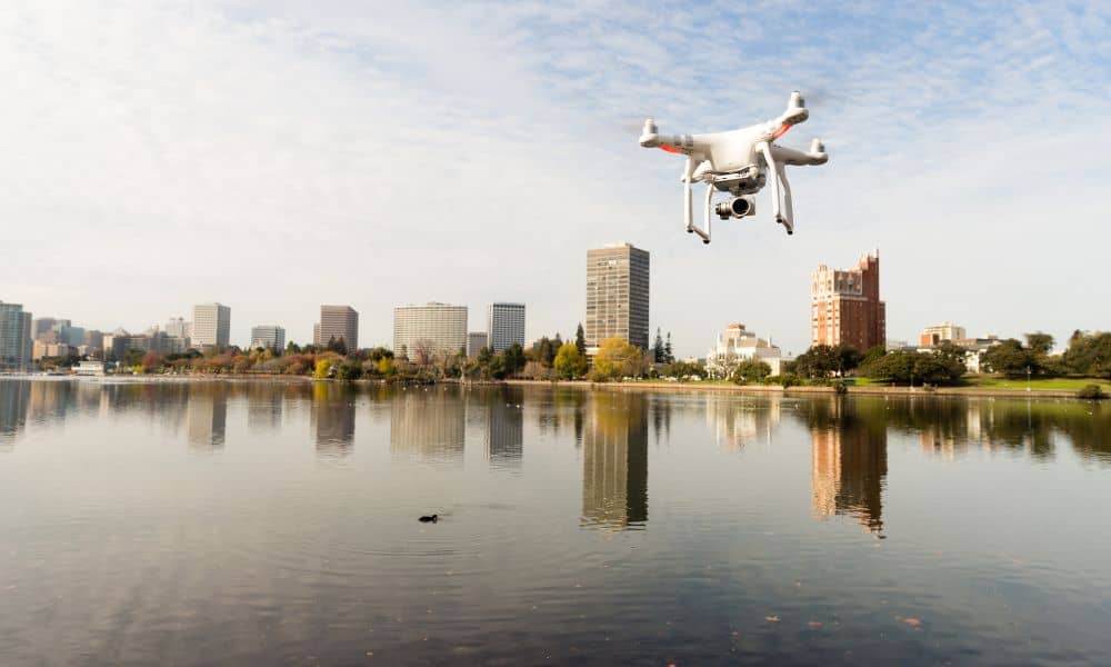
Last month, Chicago made history. Hundreds of swimmers took part in the first official race in the Chicago River in almost 100 years. For many residents, it was a proud moment. The waterway, once known for pollution and industry, was finally clean and safe enough for a public event. Crowds gathered, media outlets covered the story, and the river became a symbol of change. But this kind of event doesn’t happen on its own. Behind the scenes, surveyors and engineers worked to make sure everything was safe. One of the most important tools they used was drone surveying.
By flying over the river and its edges, drones collected data that helped planners understand the space. They mapped safety zones, checked bridges, and spotted risks—all without slowing down the busy downtown area. Drone surveying may not get as much attention as the swimmers themselves, but it plays a key role in making riverfront events possible. And its value goes far beyond sports.
Preparing the River for a Big Event
Organizing a swim race in the middle of a major city requires careful planning. The Chicago River isn’t empty; it’s a working waterway with boats, walkways, and bridges. To host a safe event, planners needed exact measurements. Where should swimmers enter the water? How far should the course stretch? Where do boats stop, and how much space is needed for safety crews?
With drones, surveyors answered these questions quickly. A single flight produced updated images and maps of the course. The data showed the exact width of the river, the placement of docks, and the distance between bridges. It also helped organizers mark safe zones where swimmers could rest or exit in case of an emergency.
Without drone surveying, these checks would have taken days of work by crews on boats. The process would have been slower, more expensive, and more disruptive.
Watching Over Riverbanks and Bridges
Chicago’s riverfront is a mix of new developments and old structures. The Riverwalk is modern, but many bridges and riverwalls date back decades. Over time, water, ice, and heavy use cause damage. Cracks in a wall or rust on a bridge joint may not be obvious from street level, yet they can create hazards during large gatherings.
Drones give engineers a close look at these areas. Flying along the banks and under bridges, they capture high-resolution images that reveal weak spots. Surveyors can see signs of erosion, leaning walls, or damaged surfaces without sending workers into dangerous positions.
For the city, this means quicker inspections and fewer surprises. For residents and visitors, it means safer spaces to enjoy. And for event organizers, it offers peace of mind that the infrastructure will hold when crowds gather.
Helping Control Flood Risks

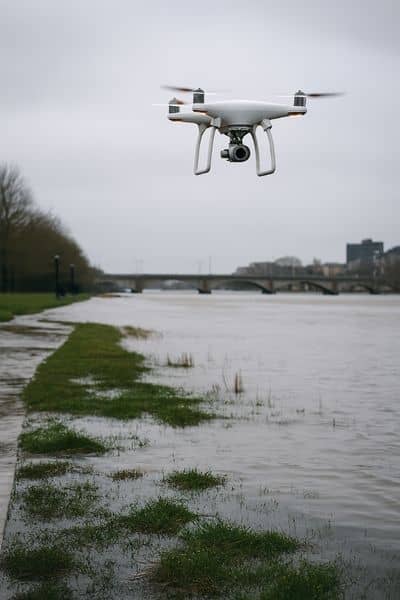
Big events are only one reason the river needs constant attention. Flooding has always been a challenge. Heavy rains can overwhelm storm drains, pushing water into the river and back into neighborhoods. The city has invested in the TARP “Deep Tunnel” system to reduce this problem, but runoff and rising waters still need to be monitored.
Drone surveying helps by scanning the riverfront and nearby areas for low-lying spots where water gathers. After storms, drones can track changes and provide updated models for engineers. This information is valuable not only for the city but also for property owners.
Homeowners near the river often need FEMA elevation certificates to qualify for flood insurance. A drone-assisted survey provides accurate data faster than traditional methods. This saves time and ensures that properties are protected against unexpected costs.
A Tool for Riverfront Growth
The Chicago River has become more than a waterway. It’s now a center for life, tourism, and development. Condos, offices, marinas, and parks are all rising along its edges. With every new project comes the need for detailed surveys.
Drone surveying helps developers prepare for construction by delivering clear, accurate maps. Contractors use these maps for construction staking, ensuring that foundations, walls, and utilities are placed in the right spot. City officials review drone data when granting permits or checking compliance with local codes.
For developers, this means fewer delays and better planning. For the city, it means projects that respect both safety and the environment. And for residents, it means more opportunities to live, work, and play along a revitalized riverfront.
Who Benefits From Drone Surveying?
Drone surveying touches many parts of life:
- Developers and contractors get faster approvals and more precise site layouts.
- City planners monitor erosion, track riverwall health, and manage public spaces.
- Homeowners gain accurate elevation surveys that help with insurance and flood safety.
In each case, drones save time and money while reducing risk. Instead of waiting weeks for results, stakeholders get answers in hours or days. That speed allows projects and plans to move forward without costly delays.
Why Drone Surveying Stands Out
Traditional surveys still play a role in civil engineering, but drones add speed and flexibility. A single flight can capture thousands of images, later stitched into a 3D model of the riverfront. These models are accurate enough for engineering decisions but produced quickly enough to meet the fast pace of city projects.
Drones also avoid many of the risks of ground surveys. Crews don’t need to walk on unstable soil or work in dangerous weather. They don’t need to block off streets or close parts of the Riverwalk. Surveys happen quietly, often while the city continues its daily routine.
This balance of accuracy, speed, and safety is why drone surveying has become a trusted tool in modern city planning.
A Symbol of Chicago’s Progress
The Chicago River Swim was more than a race. It showed the world that the city had reclaimed a once-polluted waterway. It proved that investment in infrastructure and environmental cleanup pays off. And it highlighted the invisible work of those who keep the river safe.
Drone surveying doesn’t appear in the headlines, but it makes those headlines possible. It ensures that bridges are stable, riverwalls are strong, and floodwaters are managed. It keeps events safe and development projects on track.
As Chicago continues to grow, drones will remain a key part of its progress. From sports events to flood prevention, from public safety to private development, drone surveying is shaping the future of the city’s waterfront.