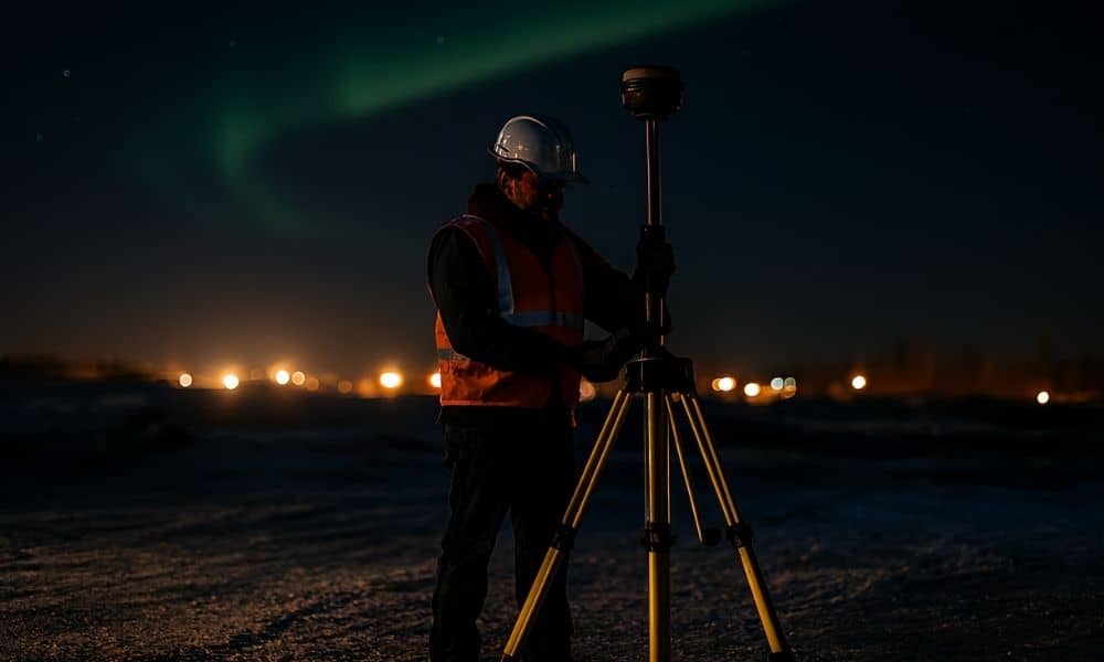
If you’re a construction surveyor, you probably remember the talk earlier this month when the northern lights painted the skies over Illinois. Everyone was sharing photos of the rare aurora. But while the city looked up, survey crews were looking down, wondering why their rovers suddenly struggled to stay fixed.
That same solar storm that lit up the skyline quietly disrupted GPS and GNSS accuracy across the Midwest. The National Oceanic and Atmospheric Administration (NOAA) issued strong geomagnetic-storm alerts from October 3 to 5, warning that satellite positioning could be unreliable. For most people, it was a colorful weekend. For construction teams, it meant drift, downtime, and plenty of double-checking.
Why Solar Storms Disrupt the Job
GNSS (Global Navigation Satellite System) keeps your measurements tight when you’re staking points or mapping grades. But when charged solar particles slam into Earth’s atmosphere, they stir up the ionosphere and bend radio signals from satellites.
That disturbance makes the data your rover reads bounce or blur. One second you’re “fixed,” the next you’re “float.” Even a few tenths of a foot of drift can throw off curb lines, slab elevations, or utility grades. In high-density projects, that’s a costly mistake waiting to happen.
Why Chicago Feels It More
Chicago’s skyline is a challenge on any clear day. Glass towers and metal frames reflect satellite signals, creating multipath errors. Add a storm-shaken ionosphere, and the noise multiplies. Out in the suburbs, trees, cranes, and high-rise cranes still block signal paths.
During the October 3–5 event, crews from Lakeview to Naperville saw delays locking in RTK fixes. Equipment wasn’t failing — the sky was. When nature messes with precision, experience becomes the only fix.
The Construction Surveyor’s Plan B
Seasoned Chicago surveyors don’t stop when satellites stumble. They shift gears.
1. Start the day smarter. Before heading to the site, check NOAA’s Space Weather Prediction Center. The Kp Index shows whether solar activity could affect accuracy. If readings look high, postpone staking or focus on control work first.
2. Go manual when needed. When RTK starts drifting, switch to total-station shots or rely on established benchmarks. It’s slower, but it keeps accuracy intact. Resume GNSS work later when readings stabilize.
3. Document everything. Log any strange readings or float events. Raw data can be post-processed later. Those field notes prove you protected the project’s precision even on rough signal days.
4. Adjust the schedule. Geomagnetic disturbances fade within a day. Move critical layouts to calmer hours and use the downtime for data checks, calibration, or equipment servicing.
Talk It Out With Clients
Project managers hate surprises. Clear communication keeps confidence high. A short note like this works wonders:
“Our GNSS accuracy was affected by solar activity earlier today. All control points have been verified using total-station checks to maintain tolerance.”
That line turns a potential complaint into proof of professionalism.
Stay Ready With These Tools

You don’t need to be an astronomer to stay informed:
- NOAA Space Weather Prediction Center – daily geomagnetic updates and Kp Index.
- Aurora Dashboard – if northern-light alerts appear, GNSS accuracy often dips.
- City of Chicago Benchmark Data Portal – anchor your elevations to known control when satellites falter.
A two-minute check before rollout can save hours of rework later.
Why Builders Should Care
If you manage a construction project, GNSS issues can slow down staking or delay pours. Hiring a construction surveyor who understands these space-weather hiccups keeps your schedule safe.
A pro doesn’t just collect data — they manage risk. They’ll verify control, re-shoot questionable points, and communicate issues before they turn into costly mistakes. That’s what separates reliable partners from one-off crews.
A Bright Sky, a Lesson in Precision
The auroras of early October were a rare gift for photographers — and a reminder for professionals. Even when the sky dances, precision work demands grounded planning.
When GNSS goes dark, the best construction surveyors don’t panic. They adapt, double-check, and deliver accuracy that holds up under any sky. Because in this city, where every inch counts, you can admire the lights later — but you can’t fix a crooked slab tomorrow.