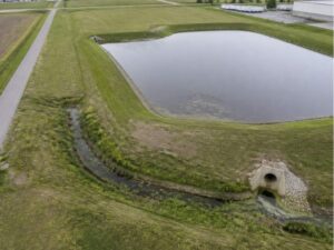
drone lidar mapping

UAV Survey for Large Sites With Several Stormwater Outfalls
Large sites can have stormwater outfalls scattered across acres of land. Some sit at the edge of a parking lot, while others hide at the

Large sites can have stormwater outfalls scattered across acres of land. Some sit at the edge of a parking lot, while others hide at the
A fiber route can look clean on an aerial photo and still fall apart once crews reach the field. A steep ditch bank, a buried