land surveying
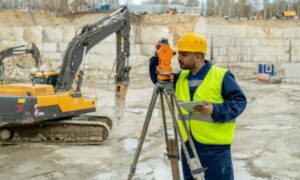
Why a Construction Survey Matters Before Work Begins
Big projects do not always move in a straight line. In Chicago, recent transit delays have made that clear. Work can slow down when funding
Big projects do not always move in a straight line. In Chicago, recent transit delays have made that clear. Work can slow down when funding
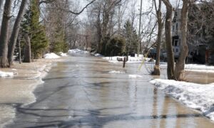
Every winter, Chicago prepares for snow, ice, and cold weather. Yet in recent years, winter has brought more than slippery roads and traffic delays. Across
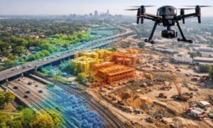
If you’ve asked for LiDAR pricing recently, you may have noticed higher quotes than before. Many property owners, developers, engineers, and city teams across the