Many old industrial sites in Chicago sit empty. These places are called brownfields. They used to be factories, gas stations, or other businesses. Brownfields can be turned into homes, parks, or shops but only if the land is safe.
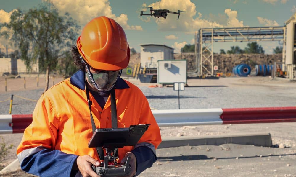
Drone surveys help developers get fast, safe, and detailed information about these sites. Drones can fly over hard-to-reach areas and capture photos, measurements, and 3D models that guide smart planning.
Brownfield Redevelopment in Chicago
Chicago has many brownfield sites — old industrial or commercial properties that sit vacant. Areas like South Lawndale, Back of the Yards, and Pullman have seen redevelopment projects where these spaces were transformed into housing, parks, and businesses. Drone surveys play a key role by helping planners and developers evaluate these sites quickly and safely.
How Drone Surveys Work
A drone survey uses a small flying device with cameras or sensors. It flies over the land and collects photos and measurements. This data is then turned into maps or 3D models, helping developers, engineers, and city officials make informed decisions and avoid costly surprises.
Why Drone Surveys Are Essential for Brownfield Redevelopment
- Safe: Drones fly over broken buildings or hazardous soil without putting anyone at risk.
- Fast: A drone survey can take hours, compared to days or weeks for a traditional survey.
- Detailed: Drones capture slopes, puddles, buildings, trees, and roads in a single view.
Key Challenges Drone Surveys Solve in Chicago
1. Hard-to-Reach Places
Many brownfields are behind fences or in crowded areas. Drones can fly over tight spaces without heavy equipment or large crews.
2. Flooding and Drainage
Chicago’s flat land can cause water to pool. Drone surveys help spot low areas and plan proper drainage to prevent water problems.
3. Planning and Permits
Drone maps give city officials clear data for cleanup and building approvals, speeding up the permitting process.
What Drone Surveys Show
- Land shape and slope (topography)
- Wet areas or puddles
- Old buildings or obstacles
- Trees and vegetation
- Roads, pipes, or utilities
These insights help developers plan smarter and avoid surprises during construction.
Drone Surveys vs. Traditional Surveys
| Feature | Drone Survey | Traditional Survey |
| Speed | Same day or next day | Several days or weeks |
| Safety | No one walks on unsafe land | Crew may need to enter dangerous areas |
| Detail | 3D models and high-quality images | Limited to ground view |
| Cost | Often cheaper for large sites | Can be more expensive and slower |
Who Uses Drone Surveys?
Developers: Use Drone Mapping for Brownfield Sites to quickly assess a property and decide if it’s worth investing in.
Environmental Consultants: Detect risks like old tanks, waste, or flooding.
City Planners: Locate empty or unsafe sites to turn into homes, shops, or parks.
Why Drone Surveys Are Worth It
Fixing a brownfield can take time and money. Drone surveys make it easier, saving time, keeping workers safe, and providing accurate information.
Brownfield redevelopment improves Chicago neighborhoods, reduces waste, and brings life back to forgotten areas. Drones are helping make this happen, one survey at a time.
FAQs
Q1: What types of brownfield sites are best for drone surveys?
A1: Drone surveys are ideal for old factories, gas stations, warehouses, and abandoned commercial sites, especially if they are unsafe or hard to access.
Q2: How accurate are drone surveys compared to traditional surveys?
A2: Drone surveys create highly accurate aerial images and 3D maps, often faster and more detailed than ground surveys.
Q3: Can drones detect environmental hazards on a brownfield?
A3: Yes. They can identify standing water, damaged soil, debris, and hidden structures for safer cleanup planning.
Q4: How do drone surveys help with permits and city planning in Chicago?
A4: Drone data gives planners and city officials clear maps and models to approve cleanup and building plans more efficiently.
Q5: Can drone surveys be repeated during redevelopment?
A5: Absolutely. Developers can survey before, during, and after construction to monitor progress and ensure safety.