
Mastering Drone Surveying for Urban Infill Projects
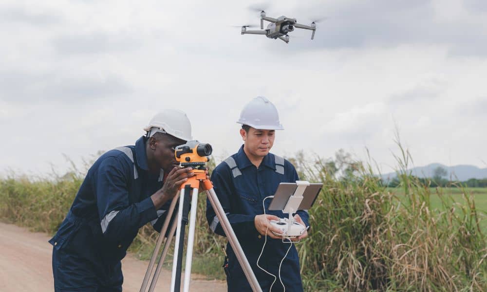
Chicago is changing fast. Empty lots, old buildings, and small open spaces are turning into condos, shops, and offices. For licensed land surveyors, that means more infill projects and tighter job sites to measure. That’s where drone surveying makes a big difference. Drone surveying gives surveyors a smarter, faster way to collect data on crowded […]
How Drone Surveying Prepares Rivers for Big Events

Last month, Chicago made history. Hundreds of swimmers took part in the first official race in the Chicago River in almost 100 years. For many residents, it was a proud moment. The waterway, once known for pollution and industry, was finally clean and safe enough for a public event. Crowds gathered, media outlets covered the […]