
Why LiDAR Mapping Costs Are Rising
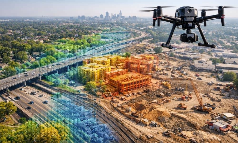
If you’ve asked for LiDAR pricing recently, you may have noticed higher quotes than before. Many property owners, developers, engineers, and city teams across the state are seeing this change. So, what’s behind it? Across many projects, lidar mapping Illinois services now cost more than they did a few years ago. While inflation plays a […]