Chicago is full of older homes, tight lots, and neighborhoods with long histories. Now the city is documenting even more of that history through a new initiative: the Historic Resources Survey 2025, launched recently in West Chicago. This project identifies buildings, streets, and areas that carry architectural or cultural value. It may sound like something meant only for historians, but it can affect everyday homeowners in a big way. And this is where a boundary survey becomes extremely important, especially if you’re planning to renovate, expand, or build on your property.
As the city maps old structures and updates its preservation guidelines, the rules for what you can build—and where you can build—are changing. If your home sits in or near a mapped historic area, your renovation plans may need tighter accuracy and stronger documentation. Without a clear understanding of your lot lines, you could run into delays, denied permits, or costly revisions.
A New Layer of Rules for Chicago Homes
Chicago already has zoning laws, setback requirements, and building codes. Historic mapping adds another layer. The West Chicago survey is documenting the age, style, and character of buildings and neighborhoods. When a street or structure is marked as “historic” or “contributing,” city reviewers may look more closely at any exterior changes you want to make.
This does not mean every home becomes protected. Instead, it means more eyes on projects that could affect a historic streetscape. That includes common updates like:
- Adding a rear deck
- Building a garage
- Replacing a fence
- Expanding a porch
- Updating windows or a façade
These projects may now face stricter reviews if the home is near a historic corridor. And because approvals depend on exact measurements, you need a clear understanding of where your property starts and ends.
Why Lot Lines Matter More Than Ever

Chicago’s older neighborhoods have unique layouts. Some homes sit close to alleys. Others share gangways. Many buildings were constructed long before modern zoning. When a new historic designation overlaps with these older layouts, the city may require proof that your renovation fits within today’s rules.
That proof comes from a boundary survey.
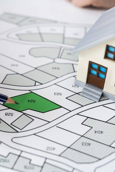
A boundary survey shows the exact edges of your property based on physical measurements and legal descriptions. Surveyors set markers on corners, record distances, and create a precise drawing of your lot. This document helps the city confirm that:
- Your addition stays inside the setback
- Your garage doesn’t cross into the alley
- Your fence sits correctly on your property
- Your deck doesn’t extend into a neighbor’s space
When a block becomes part of a historic map, these details matter even more. City planners want to protect the character of older neighborhoods, and they rely on accurate surveys to see whether your renovation respects that character.
Chicago’s Old Homes Bring Modern Challenges
Chicago has thousands of houses built before 1940. These include bungalows, two-flats, worker cottages, and early apartment buildings. Many of them still rely on plats drawn decades ago. Some plats do not match today’s actual conditions. Over the years, fences shift, garages expand, and porches settle.
When historic mapping comes into play, these small differences become big issues.
Imagine this:
You plan a simple rear addition. Your architect draws plans based on the old plat. But when your home falls under a “contributing structure,” the city wants updated measurements. If your plat is outdated, the plans may be off by a foot or two. That means revisions, delays, and possibly a new permit. A boundary survey prevents this because it gives you fresh, accurate data before you start designing.
This is why many architects now ask for a boundary survey before they begin any project on older homes. They want clarity from the start.
Three Realistic Scenarios Where Homeowners Run Into Problems
1. The Fence That Suddenly Needs Approval
Chicago homeowners replace fences all the time. But in a historically mapped street, the city may check whether the fence respects the intended look of the block. If the fence crosses your lot line by even a few inches, you may be asked to fix or reposition it. With a boundary survey, you know the exact location before spending money on installation.
2. A Garage That Sits Too Close to the Alley
Garages often sit right on the edge of the alley. If the alley has been adjusted over time or if the city now reviews the structure more closely because of historic mapping, an incorrect placement can become a problem. A boundary survey helps confirm that the garage follows today’s rules.
3. A Rear Addition That Needs Tight Setback Measurements
Historic mapping doesn’t stop you from building. It simply demands proof that your project fits the rules. A boundary survey gives you that proof. It ensures your addition stays within the legal footprint and does not break any setback or preservation guidelines.
How a Boundary Survey Supports Your Renovation Team
Once you have a boundary survey, your team can design with confidence. Architects know the exact distances they can work within. Contractors avoid mistakes that happen when measurements are based on old plats. And the city gets consistent documentation during permit review.
This saves time, reduces stress, and keeps your renovation on track.
Even if you’re not in a historic district today, the expanding mapping project means more neighborhoods may be reviewed in the future. Getting updated boundary information early is a strong investment.
When You Should Get a Boundary Survey
You should order a boundary survey if you plan to:
- Build an addition
- Update a deck or porch
- Replace or move a fence
- Install a new garage
- Rebuild an exterior staircase
- Do any exterior work requiring a permit
You should also consider it if your home is older, sits close to a neighbor’s structure, or lies near a street with known historic character.
The survey is a one-time cost that protects your long-term plans. Once completed, it becomes your base document for future projects.
Protect Your Project Before You Build
Chicago’s new historic mapping project is an exciting way to celebrate local history, but it also changes how renovations get approved. Homeowners now need clearer, more accurate data to make sure their plans meet both zoning rules and preservation guidelines.
A boundary survey gives you that clarity. It shows exactly what you own, where you can build, and how to stay within the rules. With Chicago placing more focus on historic streets and structures, this small step can save you thousands of dollars and countless hours of delay.
If you’re planning to renovate or build soon, start with a boundary survey. It protects your project, supports your team, and keeps your dream home moving forward without surprises.