Failed Lot Auction Proves Why a Due Diligence Survey Matters
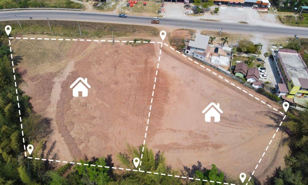
Buying land sounds simple. You see a low price, a clean map, and a good location. Then you assume the deal makes sense. However, recent events in Chicago show that land deals can fall apart fast when buyers rely on paperwork alone. A failed vacant lot auction in Chicago created headlines and raised serious questions […]
Winter Failures: Why a Construction Survey Matters
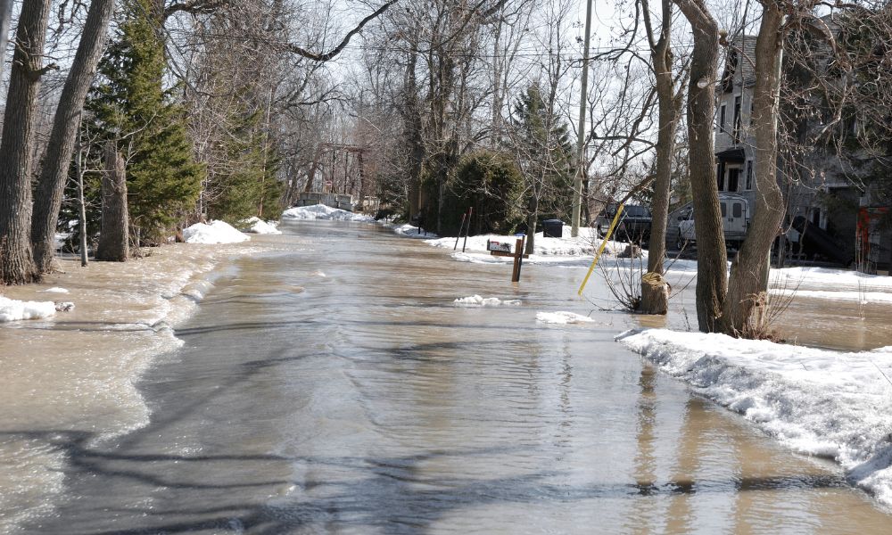
Every winter, Chicago prepares for snow, ice, and cold weather. Yet in recent years, winter has brought more than slippery roads and traffic delays. Across the city, water main breaks, flooded streets, cracked pavement, and sudden sinkholes now happen more often. These problems block roads, damage property, and create costly emergencies for both the city […]
Why LiDAR Mapping Costs Are Rising

If you’ve asked for LiDAR pricing recently, you may have noticed higher quotes than before. Many property owners, developers, engineers, and city teams across the state are seeing this change. So, what’s behind it? Across many projects, lidar mapping Illinois services now cost more than they did a few years ago. While inflation plays a […]